

Construction Drone Photography
- Home
- Construction Drone Photography
See Your Site Change, Month by Month
Not everyone on a project can get out to the site every week. A monthly drone shoot gives owners, lenders and your own team the same clear view, flown from the same spots each time, so it’s easy to see what changed and when.
The overhead, corner and orbit shots line up from one month to the next. Over the life of the build, one fixed shot becomes a time-lapse of the whole project.
Start before ground breaks with a record of the empty site. Add a short video when the building tops out or opens. Everything lands in one link you can forward to anyone.
These photos and videos are for keeping people informed. They’re a visual record, not a survey, and don’t give measurements, volumes or survey-grade accuracy.
Three Ways to Cover Your Project
Most projects start with monthly shoots. Add a pre-construction record or milestone videos when the job calls for them.
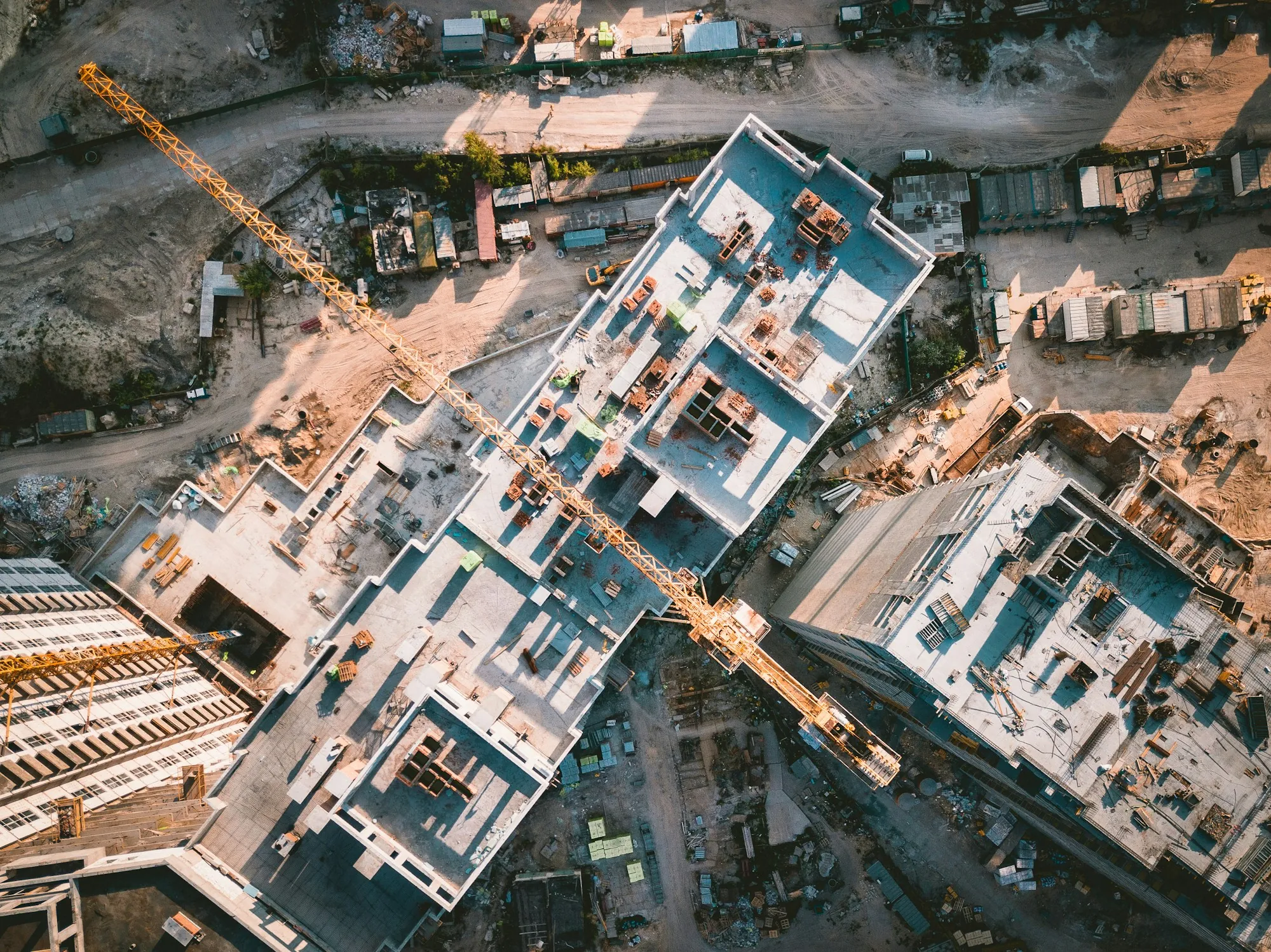
Monthly Progress Shoots
The same flight every month: one shot straight down, one from each corner and an orbit of the site. One fixed shot builds into a time-lapse, and a 3D model of the site can be added if your team wants one.
Contact for pricing
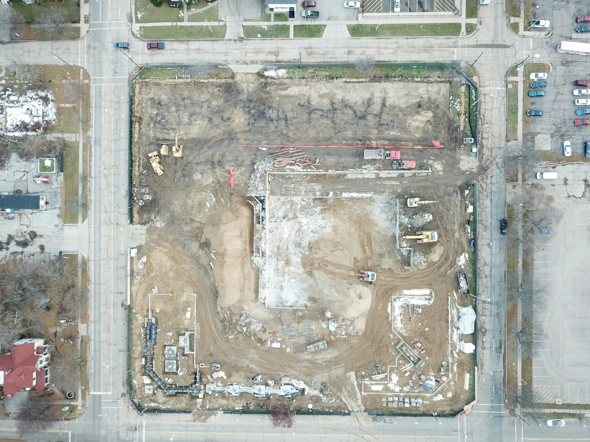
Pre-Construction Site Record
A dated record of the site before work starts: the lot, access roads and the properties next door, from above and at an angle. It shows what was there on day one and sets the starting point for monthly shoots.
Contact for pricing
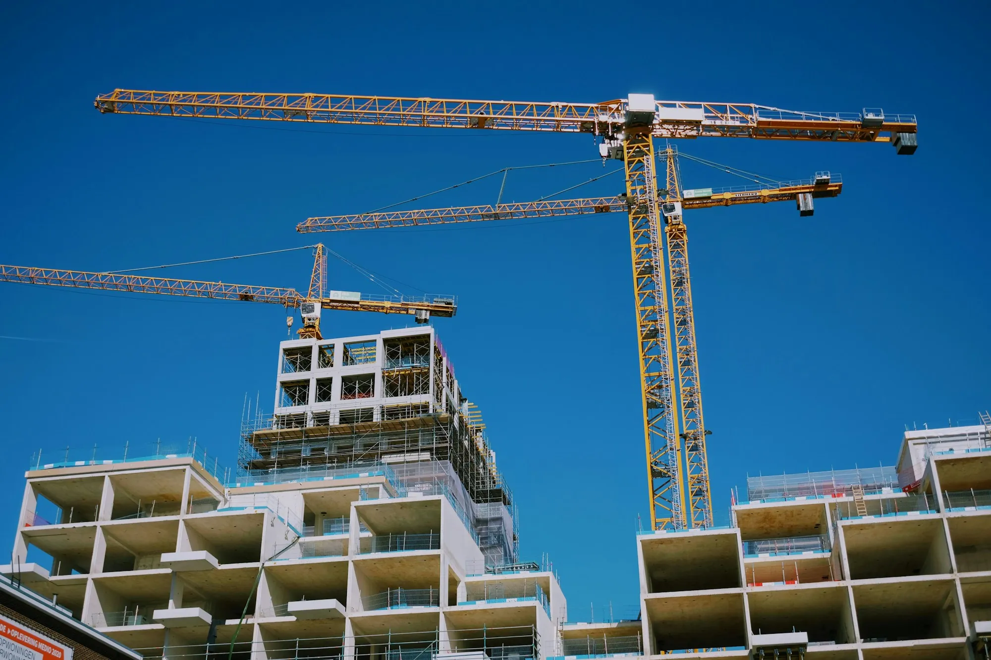
Milestone & FPV Videos
For the big moments, like topping out or opening day. Short videos, with the option of a small FPV drone (DJI Avata 2) flying through and around the building. When it’s finished, the building can be photographed for marketing too. See commercial real estate photography.
Contact for pricing
Deliverables
What You Get After Each Visit
Every shoot is dated and shared in one link your whole team can open.
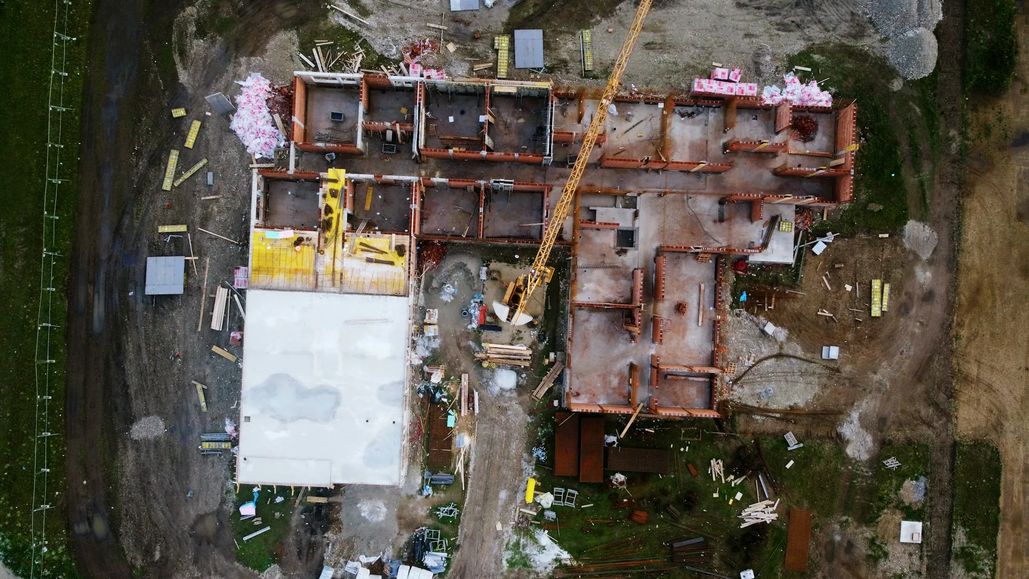
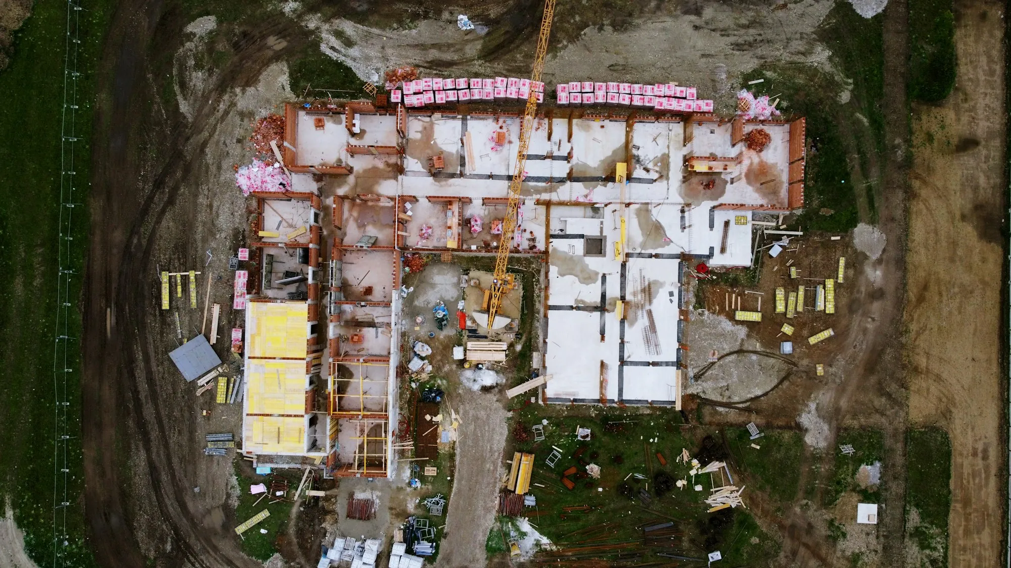
Side-by-Side Month Comparison
Same spot, same angle, two different months. Put them next to each other and anyone can see what got built, earlier visit on the left and later visit on the right.
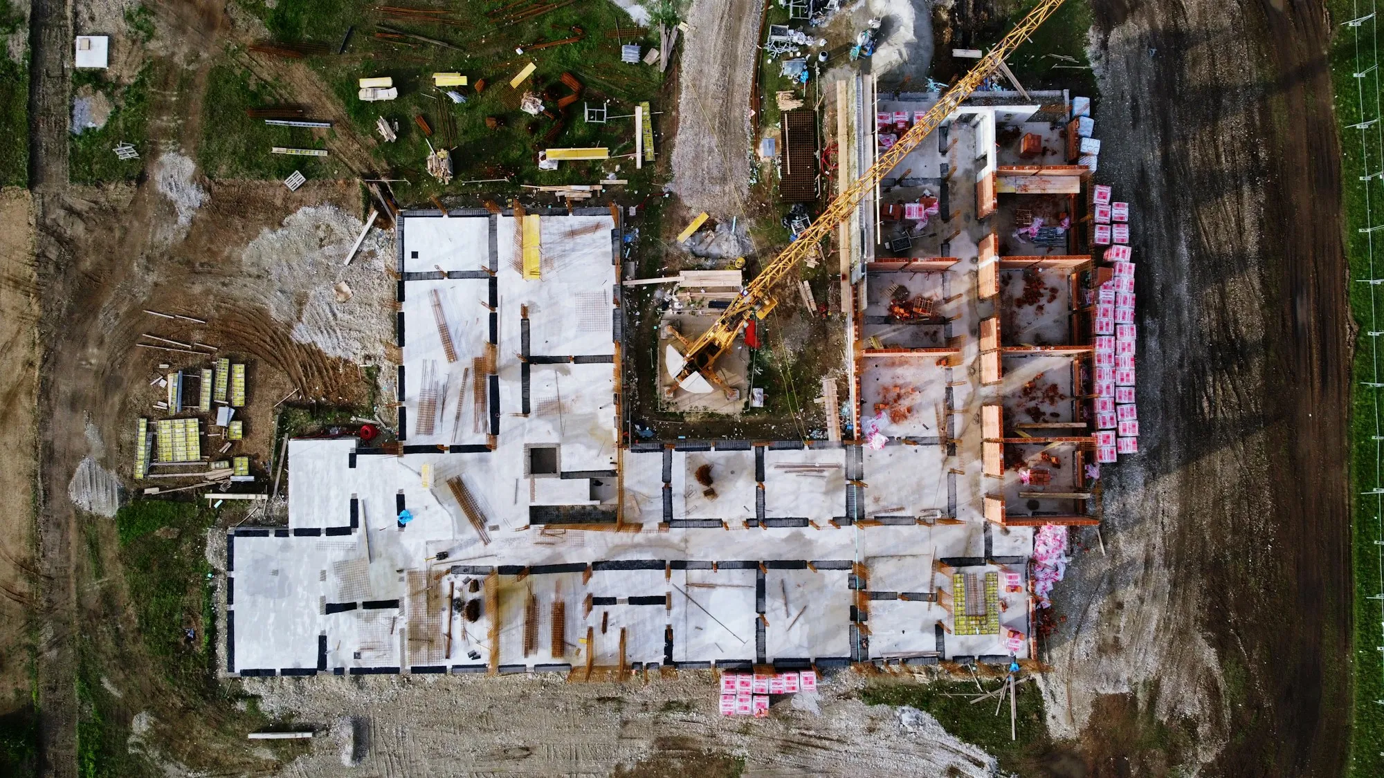
Overhead Progress Photo
The whole site from straight above, shot from the same height every time.
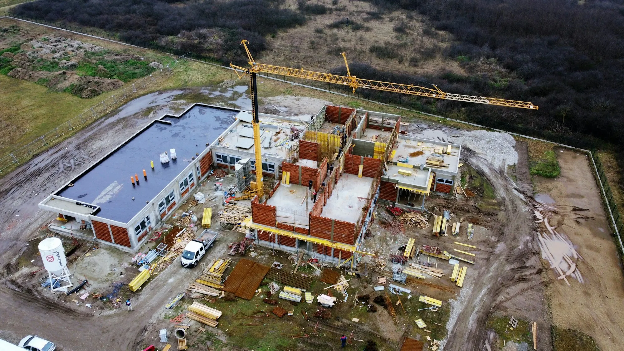
Angled Corner Views
A view from each corner that shows how the building is rising and where materials are staged.
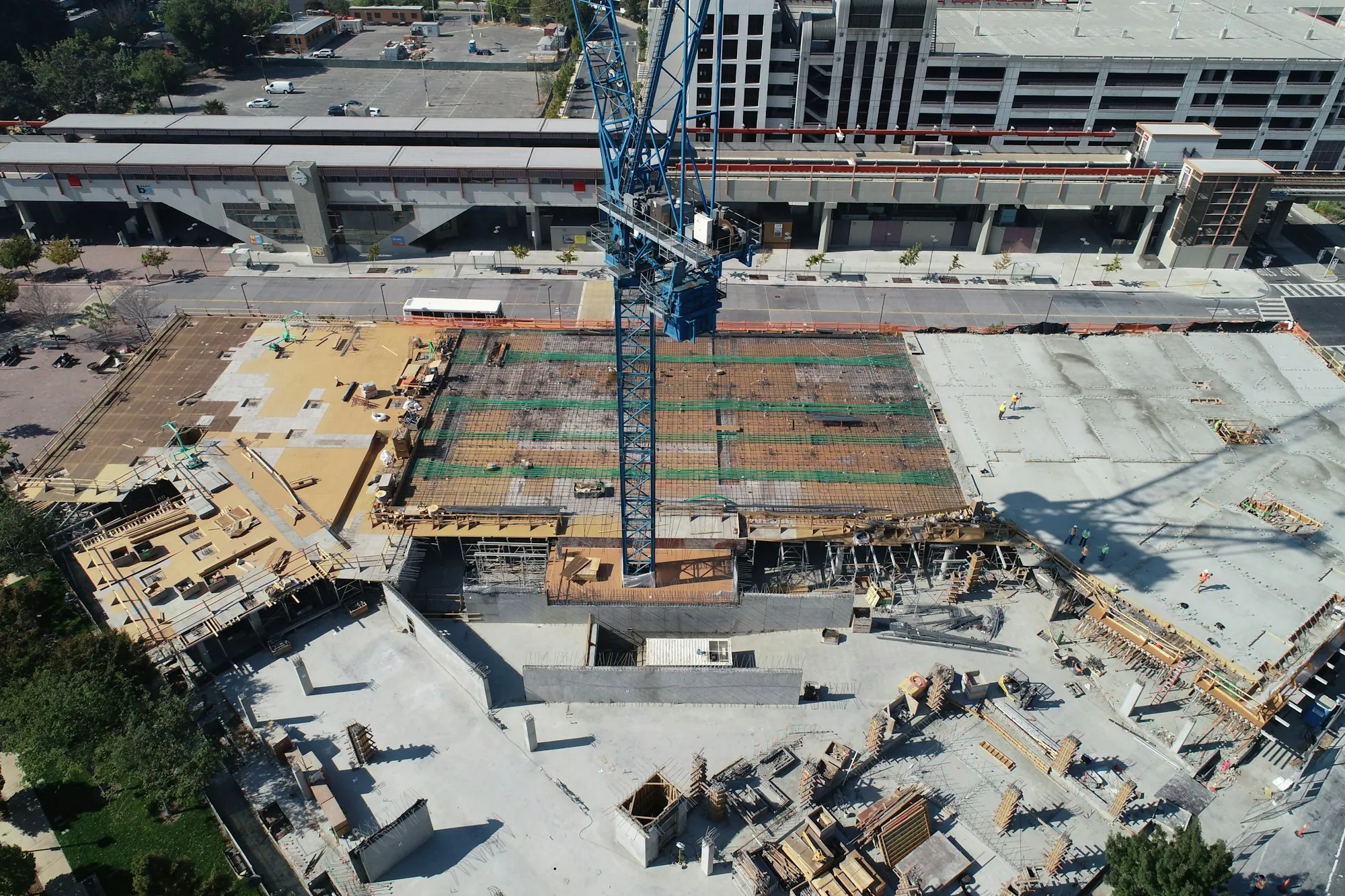
Progress Time-Lapse Video
One fixed shot from each visit, put together into a short video of the build.
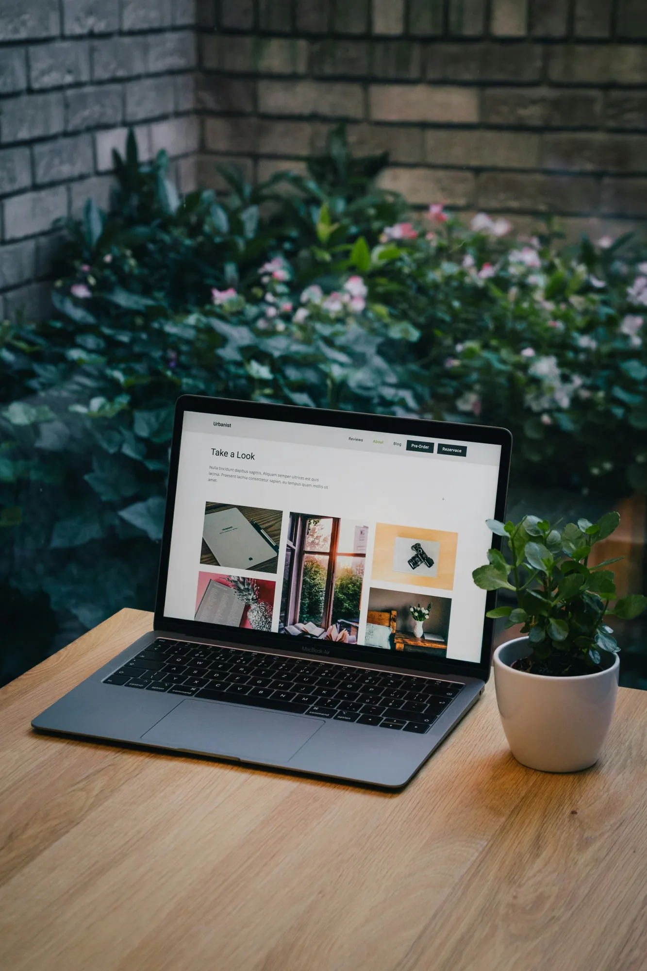
Shareable Online Gallery
Every visit sorted by date in one gallery you can forward to anyone.
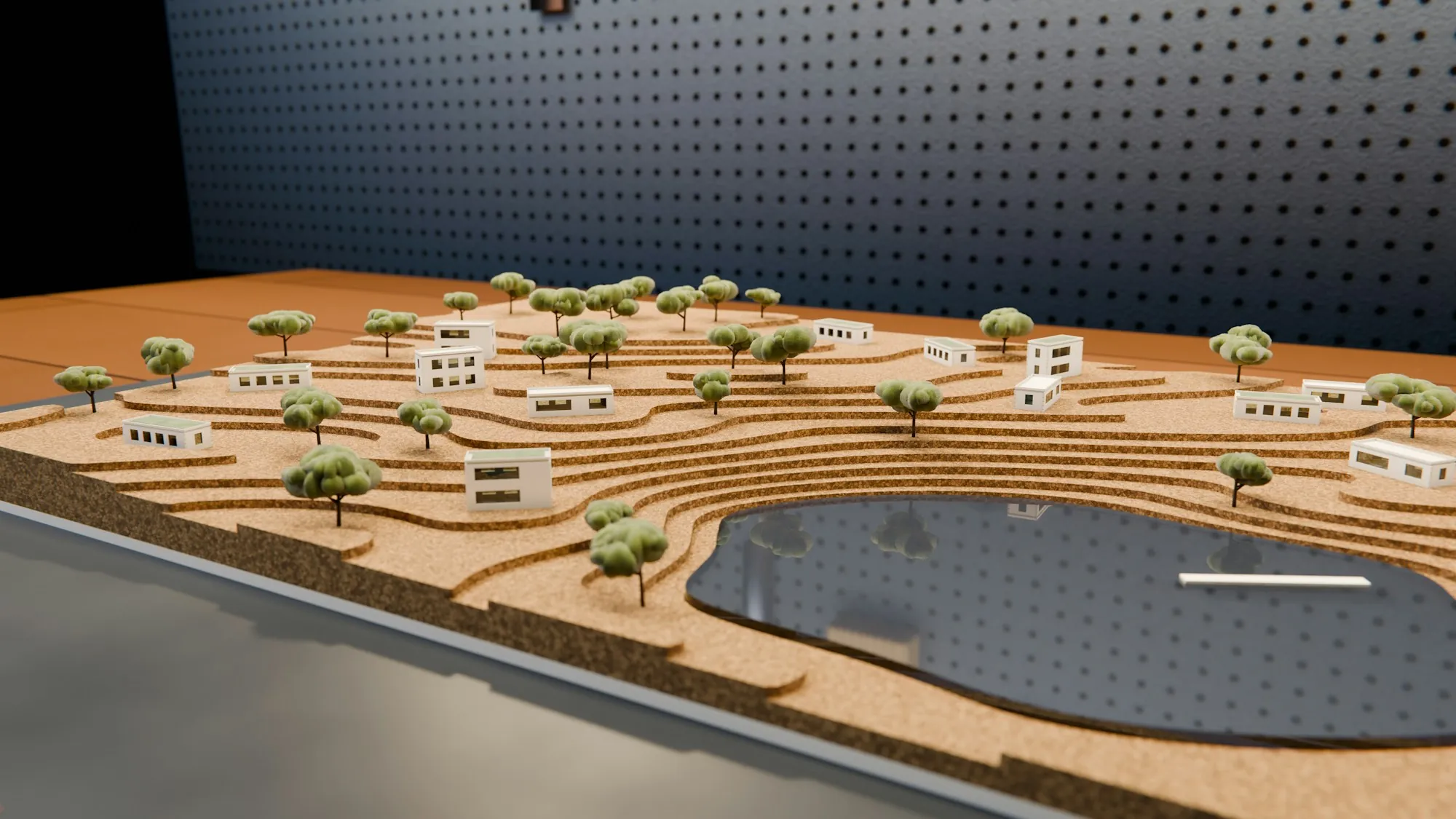
3D Site Model (Optional)
A 3D model you can spin around in a web browser, shared by link. It’s for a visual look only and isn’t to scale.
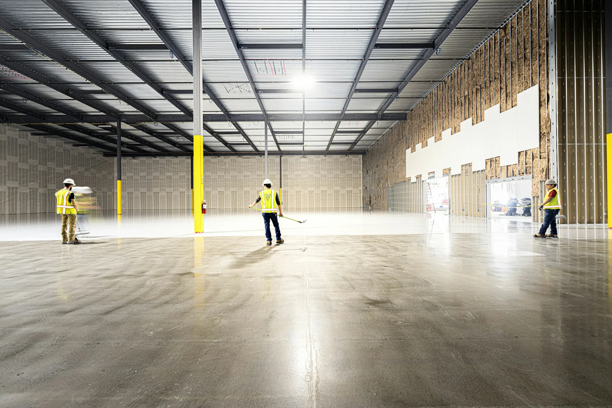
FPV Fly-Through Video (Add-On)
One continuous flight through and around the building at a milestone.
Everything here is a visual record, not a survey. Nothing is to scale, and no measurements, volumes or survey-grade accuracy are given.
Process
How It Works
Four short steps from your first email to the first shared link.
Plan the Routes
I check the airspace and site access, then plan the routes and camera spots used on every visit.
Fly Each Visit
Each visit repeats the same routes, so every set of photos lines up with the last.
Share the Link
Photos, video and any 3D model are delivered through one shareable link after each visit.
Built for Contractors, Developers and Owners
For anyone who needs to show how a commercial, apartment, industrial or public project is moving, without driving out to the site. See the other industries I work with.
General Contractors
A dated record for owner meetings and progress updates, plus photos you can use in your next proposal.
Developers
The same view every month to share with investors, lenders and partners, plus milestone video for marketing and leasing.
Owners & Public Agencies
A visual record of the site before, during and after construction for stakeholders and project files.
Coverage
Where I Fly
Based in Sacramento, I fly job sites throughout Sacramento, Placer, El Dorado and Yolo counties. Before quoting, I check each site’s airspace and request FAA approval where it’s needed. Every flight is flown under my FAA Part 107 remote pilot certificate.
To see finished work, visit the portfolio or The Hayley case study.
- Sacramento
- West Sacramento
- Elk Grove
- Folsom
- El Dorado Hills
- Roseville
- Rocklin
- Lincoln
- Granite Bay
- Citrus Heights
- Carmichael
- Fair Oaks
- Davis
- Woodland
- Auburn
- Placerville
There is no travel fee within 30 miles of Sacramento. A travel fee may apply beyond that.
Questions
FAQ
What’s included in a monthly shoot?
The same flight every visit: a shot straight down, one from each corner, an orbit of the site, and one fixed shot that builds into a time-lapse. A 3D site model can be added if you want one.
Why fly the same route every visit?
So every month lines up with the last. Side-by-side comparisons and the time-lapse only work when the camera is in the same place each time.
What is a pre-construction site record?
Photos and video of the site and its surroundings before work begins, dated so you have a clear picture of what was there on day one.
Is this a survey? Can you take measurements?
No. The photos, video and 3D models are a visual record, not a survey. They don’t give measurements, volumes, elevations or survey-grade accuracy. For measured work, use a licensed land surveyor.
How do I view the 3D model?
You get a Sketchfab link that opens in any web browser, so your team can spin and zoom around the site without special software. It’s for a visual look only and isn’t to scale.
What are milestone and FPV videos?
Short videos for the big moments, like topping out or opening day. They can include a first-person flight through the building with a small, enclosed FPV drone (DJI Avata 2). Each flight is planned with the site team.
Which areas do you cover?
Sacramento, Placer, El Dorado and Yolo counties. The full list of cities is above, under Where I Fly.
Can you fly near airports?
Many sites near airports are in controlled airspace. I check every site before quoting and request FAA approval where it’s needed. Some spots have height limits or need extra lead time.
How much does it cost?
It depends on the site, how often you need visits and what you want delivered. Email john@johnturtonphoto.com with a few project details and I’ll send pricing.